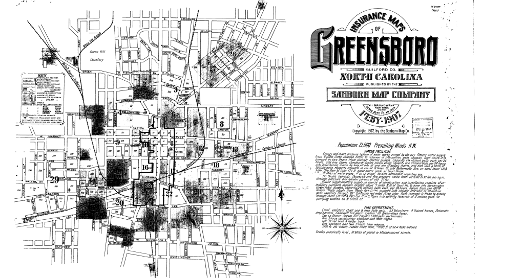
For the 2026 Jewish American Heritage month in May, the Greensboro History Museum and UNCG Museum Studies graduate student, Kennedy Gray, worked to create a mapping of a select number of significant historical locations in the Greensboro Jewish community. The map below offers an interactive experience for those to explore the history of Greensboro’s Jewish community, both digitally and as a guide for those interested in visiting the sites in person as a self-guided tour.
To emphasize how development in Greensboro has been altered throughout the decades, there is also a visual aid exercise for all ages to spot similarities and changes over time to a few of the buildings mentioned in the map.
For a better viewing experience, please use this link to open StoryMap in a separate page:
Activity: Comparing Greensboro Locations Over Time
Over time, buildings can remain unchanged with proper maintenance and preservation efforts. However, buildings can also drastically change to fit new needs and desires of the people who use the space or because of outside influences.
In this activity, a select few locations from the Greensboro Jewish History Tour have been juxtaposed, or compared, with photographs taken of the same place at different times. By analyzing the differences and similarities within each comparison, it will showcase how spaces have been influenced by people and communities.
When examining the provided photographs, reflect on the questions below each comparison:

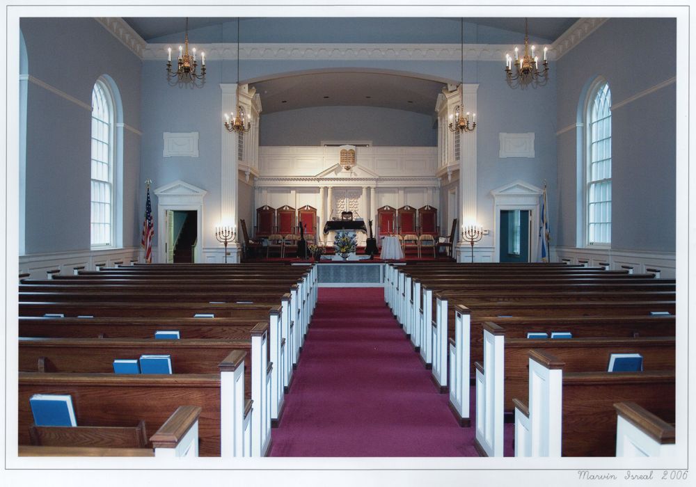
- Are the two images more similar or different?
- Have things changed over time in the photographs? Why or why not?
- What are some words you would use to describe the space?
- How does the interior of this temple compare to other religious spaces in Greensboro?
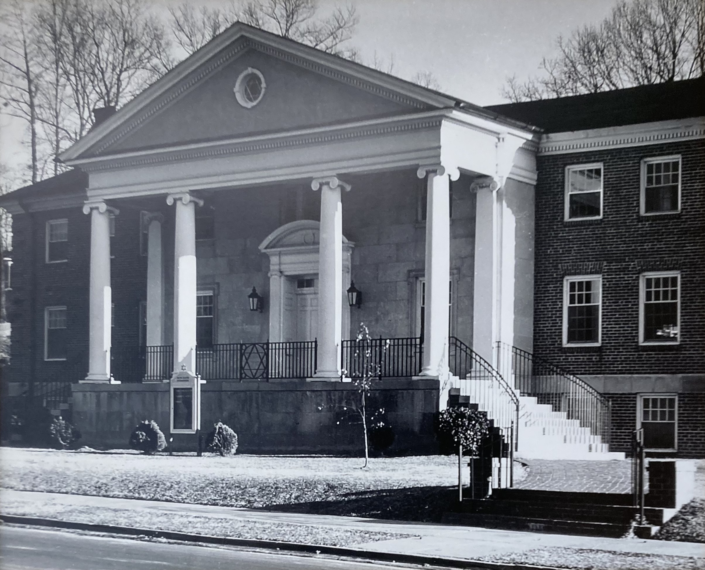
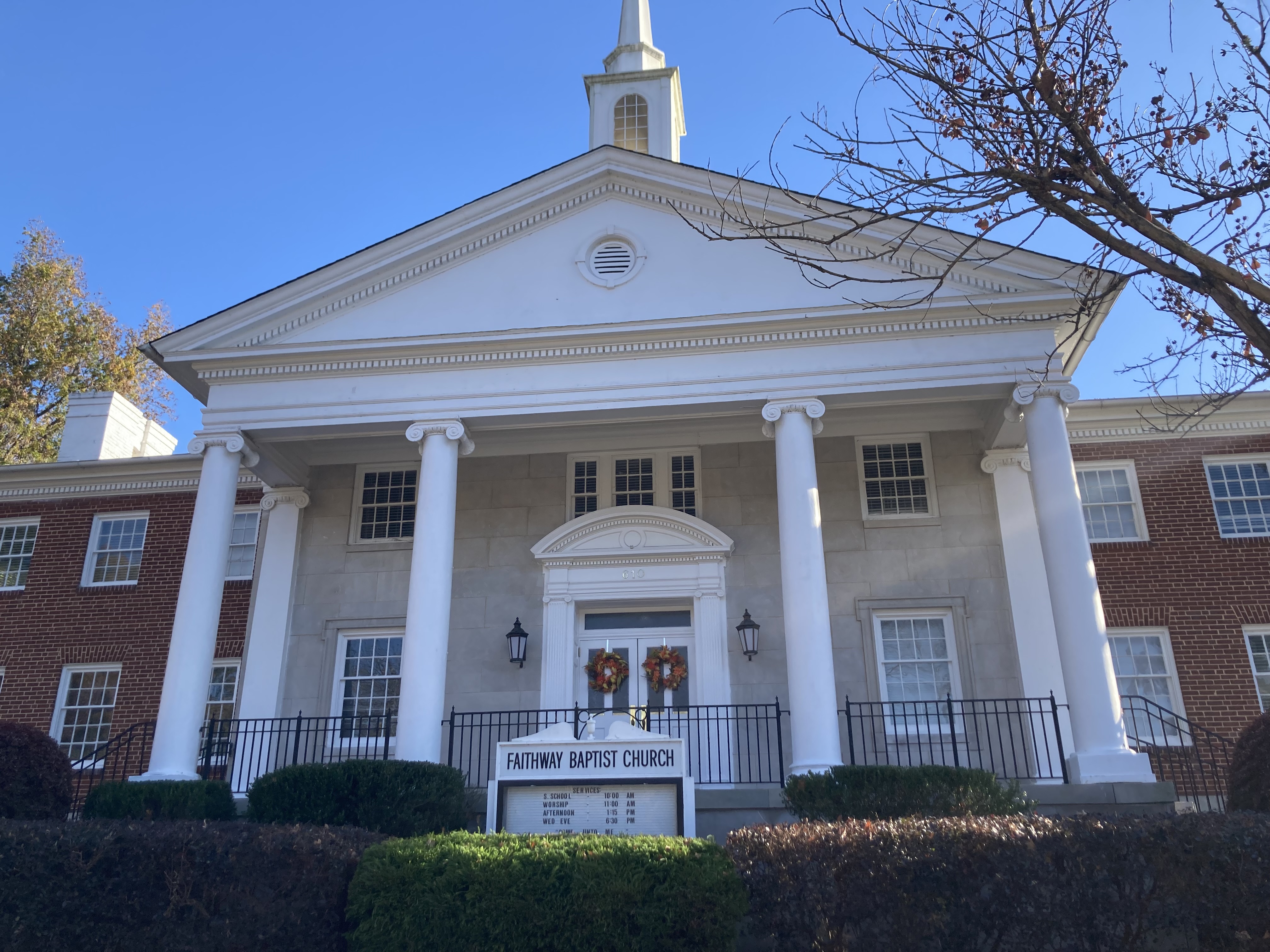
- Are the two images more similar or different?
- What has changed between the two images?
- How does this building match national and surrounding architectural trends at the time?
- Why do you think the architecture of a Southern synagogue was easily adaptable to the style Christian church?
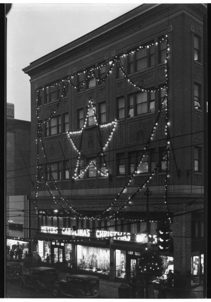
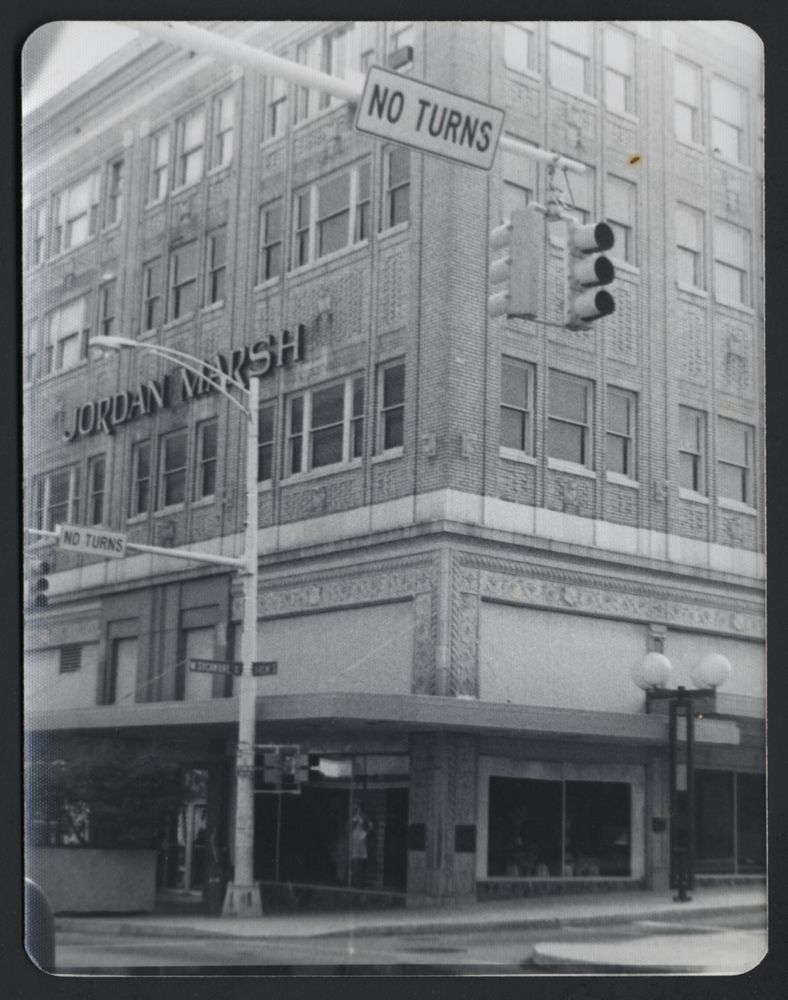
- Are the two images more similar or different?
- What are some things you notice that are different?
- What are the noticeable technological changes seen on the streets in the two photographs?
- Why did the number of visitors and stores in the downtown area of Greensboro decline from the 1920s to the 1970s?
Below is the file for the final project self-assessment. There are also two more attached files for the transcript and bibliography for the StoryMap.
